Revolutionizing Earth Monitoring: The US-India NISAR Satellite Set to Launch in 2025
2024-11-08
Author: Noah
Earth’s surface might seem static to us, but it’s actually a dynamic tapestry of constant movement. From volcanic eruptions to earthquakes and landslides, these shifts can often lead to catastrophic events. To enhance our understanding and preparation for such natural disasters, NASA, in collaboration with India’s Space Research Organisation (ISRO), is poised to launch an groundbreaking satellite named NISAR (NASA-ISRO Synthetic Aperture Radar).
Scheduled for launch in early 2025, NISAR will revolutionize our ability to monitor the Earth's surface by capturing data on nearly all terrestrial and ice-covered regions every 12 days. This mission promises to provide unprecedented insights into land movement, enabling scientists to track subtle changes that often go undetected. “This kind of regular observation allows us to look at how Earth’s surface moves across nearly the entire planet,” explained Cathleen Jones, NASA’s NISAR applications lead.
Superior Technology for Tracing Movements
What sets NISAR apart is its unique dual radar system, combining L-band and S-band instruments developed by NASA JPL and ISRO, respectively. This innovative technology can penetrate clouds and dense vegetation—capabilities that are crucial for monitoring volcanic sites and fault lines often obscured from conventional optical monitoring. With the precision to detect movements as small as fractions of an inch, NISAR is expected to unveil the hidden dynamics of Earth’s crust.
While the satellite won’t predict exact earthquake occurrences, it will illuminate regions vulnerable to seismic activity. "NISAR will help us identify areas of fault movement that might lead to earthquakes,” said Mark Simons, the US solid Earth science lead. This could be particularly invaluable for regions like California, where fault lines are closely monitored, as well as newer regions where previous data was lacking.
Key Focus Areas: Himalayas and Volcanoes
Among the many areas of interest, the Himalayan plate boundary stands out. “This area has a history of significant earthquakes,” said Sreejith K M from ISRO. With NISAR, researchers hope to gain critical insights into the seismic hazards of this tectonically active region.
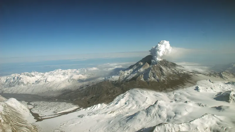
Additionally, NISAR will assist volcano researchers in understanding the subtle land movements that may signal an impending eruption. As magma shifts, even slight bulges can indicate changing volcanic activity, and NISAR’s regular surveillance will track these deformations over time.
Enhancing Infrastructure Resilience
One of NISAR’s most practical applications lies in monitoring vital infrastructures like dams, levees, and aqueducts. By establishing a baseline of what's considered "normal," officials can quickly identify areas that demand inspection after events like earthquakes. “Instead of surveying an entire aqueduct, NISAR allows for targeted inspections,” Jones noted. This innovation could lead to significant cost savings in disaster response and infrastructure maintenance.
A Historic Collaboration
The NISAR mission signifies a historic partnership between NASA and ISRO, paving the way for future collaborations in Earth science. Comprising an equal share of development responsibilities, both agencies have joined forces to create one of the most advanced satellite missions to date. While NASA is focusing on the satellite’s US components, ISRO is responsible for launching the vehicle and managing operations from India.
As NISAR gears up for its 2025 launch, its anticipated data will not only improve our understanding of Earth’s movements but also empower communities to better prepare for, respond to, and recover from natural disasters. Stay tuned—the future of Earth monitoring is just around the corner, and the findings could change everything we think we know about our planet!


 Brasil (PT)
 Canada (EN)
 Chile (ES)
 España (ES)
 France (FR)
 Hong Kong (EN)
 Italia (IT)
 日本 (JA)
 Magyarország (HU)
 Norge (NO)
 Polska (PL)
 Schweiz (DE)
 Singapore (EN)
 Sverige (SV)
 Suomi (FI)
 Türkiye (TR)