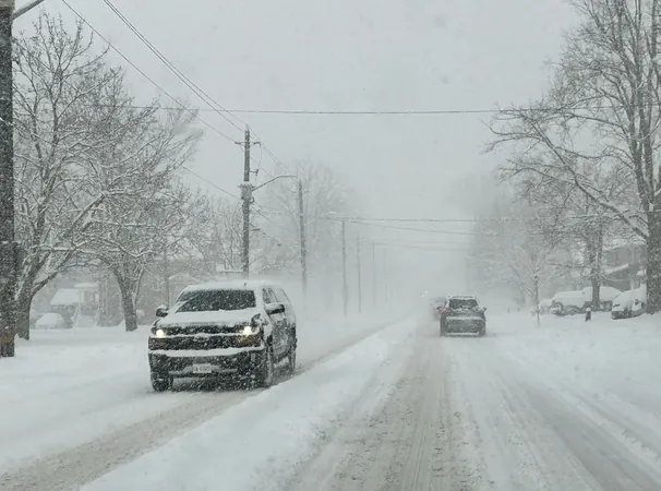
Prepare for the Polar Vortex: Siberian Cold Snap to Blanket Canada
2025-01-18
Author: William
Canada may have experienced an unusually mild winter last year, but this season, the country stands on the cusp of a major cold snap known as the 'polar vortex.' The chilling air is predicted to sweep down from Siberia, enveloping a vast swath of Canada and extending its icy fingers toward the southern United States, nearly reaching Mexico.
Senior Climatologist David Phillips from Environment Canada emphasizes that while this phenomenon is commonly referred to as a polar vortex, it could equally be termed 'Arctic air,' given its origins. The frigid air mass is anticipated to settle in thick layers, making it formidable and difficult to disperse.
Before the deep freeze fully grips the nation, Canadians can look forward to a few deceptively mild days. This winter invader, likened to a 'bully,' will establish its dominance in the atmosphere, making even typically warmer regions feel the bite of extreme cold.
Several Canadian cities, including Montreal, are expected to feel the brunt of this icy wave. For instance, temperatures in Montreal are poised to plummet from 0 degrees Celsius on Friday to a staggering -24 degrees by Monday. Meanwhile, Calgarians will witness a drop to -22 degrees over the weekend, only to rebound to a warmer 7 degrees midweek, a transition reminiscent of a Chinook effect.
One of the most critical warnings with this cold snap is the heightened risk of frostbite, which can affect exposed skin in as little as 20 minutes. Residents are urged to take precautions when stepping outside.
This climate shift starkly contrasts with last winter, during which many regions enjoyed warmer temperatures, leading many to feel as though winter had been 'canceled.' Phillips draws attention to the influence of El Niño, a climate pattern characterized by warmer Pacific waters, which led to last year's milder conditions. In contrast, the current winter's weather derives its chill from La Niña, where cooler Pacific waters drive the jet stream southward, contributing to colder temperatures for regions from the Prairies to Ontario.
Historically, mid to late January has long been dubbed 'the dead of winter.' According to Phillips's analysis of 30 years of temperature trends, January typically brings the lowest temperatures of the year to Canada, making the statement ring true now more than ever. Despite the cold, there are upsides. Winter activities such as skiing and ice fishing are back in full swing, with the Rideau Canal open for skating after a two-year hiatus.
The term 'polar vortex' has become synonymous with intense winter weather but, as Phillips notes, the essence of this cold remains unchanged. This current spell is a familiar adversary faced by generations past. As this weather event takes center stage, experts remind everyone to equip themselves for the chilly conditions ahead: pack extra mittens and blankets in your car, ensure your pets are indoors, and check in on vulnerable neighbors.
Looking ahead, forecasts suggest a bit of relief after this cold snap, with moderating temperatures expected as February approaches. So while the polar vortex brings its chilling winds now, there is hope of warmth to come.


 Brasil (PT)
 Canada (EN)
 Chile (ES)
 Česko (CS)
 대한민국 (KO)
 España (ES)
 France (FR)
 Hong Kong (EN)
 Italia (IT)
 日本 (JA)
 Magyarország (HU)
 Norge (NO)
 Polska (PL)
 Schweiz (DE)
 Singapore (EN)
 Sverige (SV)
 Suomi (FI)
 Türkiye (TR)
 الإمارات العربية المتحدة (AR)