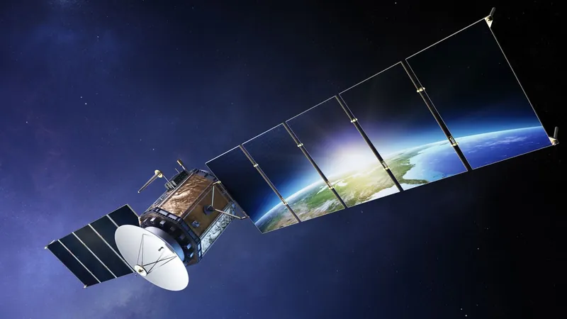
Revolutionizing Biodiversity Monitoring: How Satellites Are Transforming Conservation Efforts
2025-06-09
Author: Rajesh
The Dawn of Satellite Technology and Biodiversity Awareness
The launch of Sputnik 1 by the Soviet Union in 1957 marked humanity's first foray into satellite technology. This humble aluminum sphere sent out radio signals for 92 days, but it took decades for satellites to evolve into tools capable of capturing our planet’s visual data. Initially limited, satellite imagery began playing a crucial role in environmental monitoring only after the concept of biodiversity gained traction in the 1980s.
A Modern Tool for Conservation Science
Fast forward to today, satellites are pivotal in the ongoing study of biodiversity. Heather Reese, a senior lecturer at the University of Gothenburg, highlights how advancements in satellite technology have dramatically enhanced the quality and frequency of images collected. "With the European Space Agency's Sentinel-2 satellite, we receive images every five days near the equator, allowing for unprecedented monitoring capabilities," she notes.
Tracking Nature's Shifts
Satellite imagery offers a broad perspective on biodiversity, enabling scientists to pinpoint changes in vegetation. "We can analyze whether plant life is thriving or suffering due to climate changes," Reese explains, emphasizing phenomena like "shrubification" in warming Arctic regions and the troubling effects of browning caused by droughts and frosts.
A Multi-Method Approach to Data Collection
In her work, Reese integrates satellite insights with ground-level studies and drone technology. This multifaceted approach allows researchers to gather detailed data while benefiting from the constant monitoring capabilities that satellites provide. For instance, in a project examining pollinators, Reese's team utilizes drones for close-range observations, while satellites track broader vegetation trends throughout the season.
Strategic Energy and Resource Allocation
Dag Wästlund, head of Vattenfall’s Data Science and AI section, echoes the significance of satellite imagery for biodiversity initiatives intertwined with hydropower. "In the past, our methods were site-specific, but now we can identify key restoration locations with a comprehensive overview," he states, underscoring how satellites have transformed restoration efforts by allowing more efficient resource allocation.
Enhanced Monitoring Across Landscapes
These invaluable tools also facilitate habitat assessment in areas like power line corridors. Wästlund emphasizes that satellite data not only aids in pinpointing various habitats but also provides a historical perspective on their evolution. This comprehensive overview ensures that conservation efforts yield measurable impacts.
A Future Rich with Detail
As technology advances, the future of satellite imagery looks more promising than ever. Wästlund speculates, "If we continue on this trajectory, high-resolution satellite images may soon eliminate the need for drones in many cases." With resolution improving significantly—from three meters per pixel to mere centimeters—satellites are poised to deliver not just wide-ranging visuals but intricate details essential for effective biodiversity monitoring.
In summary, as satellite technology continues to advance, researchers like Reese and Wästlund are leveraging these powerful tools to reshape our understanding of biodiversity and drive impactful conservation efforts.

 Brasil (PT)
 Canada (EN)
 Chile (ES)
 Česko (CS)
 대한민국 (KO)
 España (ES)
 France (FR)
 Hong Kong (EN)
 Italia (IT)
 日本 (JA)
 Magyarország (HU)
 Norge (NO)
 Polska (PL)
 Schweiz (DE)
 Singapore (EN)
 Sverige (SV)
 Suomi (FI)
 Türkiye (TR)
 الإمارات العربية المتحدة (AR)