The Mysterious 200-Meter Tsunami that Shook the Earth for Nine Days!
2025-09-11
Author: Jia
A Global Mystery Unfolds
Imagine seismic signals resonating from the Arctic all the way to Antarctica—sounds impossible? Well, that’s precisely what happened when scientists detected an unprecedented signal lasting nine full days. "We were utterly perplexed – this was no ordinary seismic activity," said Stephen Hicks, a Research Fellow in Computational Seismology at UCL.
The Unidentified Seismic Object
Initially, the signal was dubbed a 'USO', or 'unidentified seismic object', standing out because it produced a monotonous hum rather than the chaotic rumble typical of earthquakes. This unique signal prompted a global investigation, as the scientific community rushed to decode its origin.
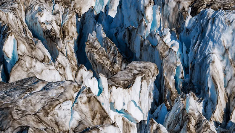
A Concern Beneath the Surface
After extensive analysis involving tsunami simulations and field data, researchers traced the signal back to a staggering natural event: a colossal landslide in Greenland’s Dickson Fjord. This landslide, described as releasing enough rock to fill 10,000 Olympic swimming pools, triggered a gigantic 200-meter-high (656-foot) mega-tsunami.
The Tsunami: A Towering Giant
To put this in perspective, that tsunami is approximately the height of 136 stacked Danny DeVitos! For reference, it's even taller than Seattle's iconic Space Needle. Scientists estimate this could be the largest wave recorded since 1980.
Echoes of Climate Change
The landslide was not just a random occurrence but was preconditioned by climate-induced glacial thinning. On September 16, 2023, this catastrophe unfolded in dramatic fashion, linking climate change with geological instability, with Hicks highlighting how this event connects the atmosphere, cryosphere, hydrosphere, and lithosphere in astonishing ways.
A New Frontier in Seismology
This fascinating study marks the first time that the phenomenon of watersloshing has been recorded as seismic vibrations traveling across the Earth. The implications are groundbreaking, revealing how climate changes are giving rise to unseen extremes—especially in remote regions like the Arctic.
High-Tech Evidence from Space
Furthermore, additional evidence has emerged thanks to the Surface Water Ocean Topography (SWOT) satellite, which captured images of the seiche sloshing back and forth during this event. Thomas Monahan of the University of Oxford remarked, "These extremes are changing the fastest in remote areas, where traditional measurement techniques often fail."
Conclusion: A Game-Changer in Earth Observation
This remarkable study demonstrates the potential of next-generation satellite technologies to revolutionize our understanding of oceanic processes, particularly in challenging environments like fjords. With the insights gained from this event, scientists are now better equipped to grasp the severe implications of climate change and its far-reaching effects.


 Brasil (PT)
 Canada (EN)
 Chile (ES)
 Česko (CS)
 대한민국 (KO)
 España (ES)
 France (FR)
 Hong Kong (EN)
 Italia (IT)
 日本 (JA)
 Magyarország (HU)
 Norge (NO)
 Polska (PL)
 Schweiz (DE)
 Singapore (EN)
 Sverige (SV)
 Suomi (FI)
 Türkiye (TR)
 الإمارات العربية المتحدة (AR)